
Site Planning
Colorado Cabin Foundation Options: Slabs, Piers, Crawl Spaces, and Site Constraints
Colorado cabins are generally carried on one of three foundation approaches — a slab-on-grade, piers or columns, or a crawl space — or a combination that steps across a sloped footprint. A slab suits a relatively level, well-drained building area; piers suit slope or terrain where bearing sits below the surface; a crawl space suits a site where a dry, accessible underfloor space is workable. Which one a specific parcel can use is set by soils, slope, frost depth, drainage, and access, confirmed through a soils investigation, a licensed engineer, and your county building department — never by the model chosen. This guide explains what each type asks of a site so you can ask sharper questions of that engineer and department.
By A-Hut · Published · Updated · 15 min read

The short answer
The foundation for a Colorado cabin is selected from site evidence, not from a model catalog. Two owners can choose the same design from our models and end up with different foundations because one parcel is a flat meadow with deep, well-drained soils and the other is a shaded 20 percent slope over expansive clay with seasonal runoff crossing the building area.
A licensed engineer, working from a geotechnical or soils report and the requirements of your jurisdiction, determines the foundation. A-Hut can coordinate that work as part of a contracted scope, but the design responsibility and the approval both sit outside this page. Nothing here is engineering advice, and nothing here predicts what any county will require or accept.
What you can do early — before drawings, before scope, before a schedule — is gather the facts that make the decision straightforward instead of expensive. That is what the rest of this guide covers.
One more framing point. A foundation is not only a structural element; it is the intersection of four separate systems. It carries the building's loads into the ground, it manages water at the point where water does the most damage, it hosts the utility penetrations that serve the structure, and it dictates how the finished floor relates to grade and therefore how you enter the building in winter. A choice that looks purely technical shows up later as a step height, a frozen line, or a wet crawl space.
Who decides what
Owners often treat the foundation as a single decision by a single party. It is not. Separating the roles early makes it obvious which question to take to which person, and it prevents an informal opinion from being mistaken for a determination.
Where A-Hut sits in this is narrow and deliberate: we plan the structure, coordinate the design and engineering work, and can manage the permit package when the agreement says so. We do not perform geotechnical investigations, we do not stamp structural designs, and we do not speak for a jurisdiction.
| Party | What they establish | What they cannot establish |
|---|---|---|
| Geotechnical engineer or soils consultant | Subsurface conditions, bearing characteristics, expansive potential, and recommendations for the tested area | Whether a jurisdiction will approve a submittal, or what the structure above should be |
| Structural or design engineer | The foundation design for your structure, loads, and the recommendations in the soils report | Subsurface facts the investigation did not cover, or the outcome of a plan review |
| Jurisdiction (county or municipal building department) | Which codes and design criteria are adopted, what the submittal must contain, and what inspections apply | The engineering judgment behind a design, or the condition of soils on your parcel |
| Excavator and concrete contractor | What the equipment can reach and execute, and what the ground looks like once it is open | The engineered requirements the design sets out |
| A-Hut | The structure planned for the property, coordination of the design and engineering scope, and permit-package management when contracted | Soils conditions, engineering determinations, or any approval outcome |
What actually drives the decision
Foundation selection is a response to a specific list of property conditions. When owners are surprised by a foundation recommendation, it is almost always because one of these was unknown at the time they formed an expectation.
Read these as the inputs an engineer will want, and as the questions worth answering during a property review rather than after a design is fixed.
- Slope and topography across the building area, not just the average grade of the parcel — a foundation follows the worst part of the footprint, not the best.
- Soils and geology, including expansive clays, fill, shallow bedrock, and collapsible soils; the Colorado Geological Survey publishes hazard and soils material worth reading before you commission testing.
- Groundwater and seasonal drainage: where water arrives from, where it goes, and whether the building area sits in its path.
- Frost depth as adopted locally — a jurisdictional requirement that varies by county and elevation and must be confirmed with the building department.
- Snow, wind, and seismic design loads adopted by the jurisdiction, which travel down through the structure into the foundation.
- Structure size, shape, and load path — a compact design and a larger design do not load a site the same way.
- Access for concrete trucks, drill rigs, excavators, and material delivery, including grade, width, turning radius, and bridge or road weight limits.
- Utility routing and depth: water line, septic or sewer, electrical service, and how each crosses or enters the building footprint.
- Wildfire exposure, which influences materials and detailing near grade as described in the wildfire site-planning checklist.
- Jurisdiction, covenants, and any floodplain or geologic hazard overlay recorded on the parcel.
Slab-on-grade, piers, and crawl space compared
The three approaches below are the ones most often discussed for small residential structures in Colorado. This table is educational: it describes what each type generally asks of a site, not what your site should have. None of these rows is a recommendation, and the right answer for a given parcel may be a variation or combination that an engineer specifies.
Notice how much of each row is about the ground rather than the building. That is the point — the structure above is comparatively adaptable, and the ground is not.
Read the table as a set of trade-offs rather than a ranking. Each option moves work between earthwork, structure, drainage detailing, and long-term maintenance; none of them removes work entirely, and the option with the least visible complexity on paper is not automatically the least demanding on a mountain parcel.
| Foundation type | Site conditions often discussed | Practical considerations | Questions for the engineer |
|---|---|---|---|
| Slab-on-grade | Relatively level building area; soils and drainage suited to bearing directly at grade | Floor sits close to grade; earthwork and grading are usually significant; utilities are typically routed before the pour | How do soils and expansive potential affect a slab here? What subgrade preparation, drainage, and reinforcement does this site require? |
| Piers or columns | Slope, uneven terrain, or conditions where bearing is reached below the surface | Reduces the amount of cut and fill on some sites; requires equipment access for drilling or excavation; underfloor exposure needs detailing | What bearing depth do the soils indicate? How are lateral loads resolved? How is the underfloor area protected and enclosed? |
| Crawl space | Sites where an accessible space beneath the floor is workable and can be kept dry | Provides service access to plumbing and mechanical runs; ventilation, moisture control, and drainage detailing are central | How is water kept out of this space on this parcel? What ventilation and vapor strategy applies at this elevation? |
| Combination or stepped approaches | Sites with grade change across the footprint or mixed soil conditions | Follows the terrain rather than forcing a single plane; adds coordination between structural, drainage, and utility details | Where does the system change type across the footprint, and how is the transition detailed? |
Match your site condition to a likely category
The table above sorts by foundation type. This one starts from what your site is likely to show, since most owners can describe slope and access before they know foundation terminology. Every row is a starting point for the soils investigation and the engineer's review, never a substitute for either.
| If your site shows this | Categories often evaluated | What still has to be confirmed |
|---|---|---|
| Relatively flat, open building area with year-round equipment access | Slab-on-grade, crawl space | Soil bearing and expansive potential, and whether drainage around the pad needs special detailing |
| Moderate slope where the footprint changes elevation but isn't severe | Piers or columns, stepped combination approaches | How much cut and fill the design still requires, and how the transition between systems is detailed |
| Steep terrain or a footprint reached only by a narrow, graded, or seasonal access road | Piers or columns | Whether drilling or excavation equipment can reach the site in the season construction is planned, and what a fall-back access plan looks like |
| Shallow bedrock or a thin soil layer across the footprint | Piers or columns keyed to bearing depth, or a specifically engineered slab | Actual bearing depth from the soils investigation, and the excavation or drilling method that reaches it |
| Expansive clay or a soils report flagging heave potential | Any type, with foundation detailing specific to the soil's expansive behavior | The specific mitigation the geotechnical report recommends for this soil, not a general assumption |
| Seasonally wet ground, a spring, or drainage crossing the building area | Piers or columns, or a crawl space engineered with active drainage | How water is diverted before it reaches the foundation, and who maintains that drainage over time |
| A site where plumbing and mechanical runs need service access beneath the floor | Crawl space | Moisture control, ventilation strategy, and how the space stays dry through snowmelt |
How this gets confirmed for your parcel
The table above narrows the conversation; it does not close it. Three separate parties confirm a foundation for a specific parcel, and knowing which one to approach for which question keeps the project moving.
A geotechnical or soils engineer investigates the ground itself — bearing conditions, expansive potential, groundwater, and depth to bedrock in the actual building footprint. Your county building department is the authority that reviews the structural submittal, confirms which codes and design criteria apply, and sets the inspections the work requires; where the parcel also needs an onsite wastewater system, the county public-health program runs that permit on a separate track, and the OWTS permitting overview explains how that process works. A licensed structural engineer then designs the foundation itself from the soils report and the adopted codes, and the excavator or concrete contractor builds to that design.
A-Hut coordinates that sequence when it is written into the project agreement, but the determination in every case belongs to the engineer of record and the reviewing jurisdiction — not to this page or to any contractor.
The property checklist to complete first
Bring this to the building department, the engineer, and the excavator. Each item is a document or an observation, not an opinion, which is why it moves a project forward faster than a conversation about preferences.
You will not have every line complete at the start, and that is fine. Mark what is unknown rather than guessing, because a documented gap is something a professional can quote against and an assumption is not.
- Parcel number, legal description, and a current plat or survey showing boundaries and easements.
- Zoning designation, setbacks, height limit, and lot coverage confirmed with the jurisdiction in writing where possible.
- Any recorded geologic hazard, floodplain, or drainage overlay affecting the parcel.
- A soils or geotechnical report if one exists, or a note that one has not yet been commissioned.
- Photographs of the building area in more than one season, if you have them, showing where water sits and where snow accumulates.
- Measured slope across the intended footprint and the approach route.
- Access notes: tightest width, sharpest turn, steepest grade, overhead clearance, surface type, and who maintains the road.
- Water supply plan — existing well, planned well, cistern, or a tap — as described in the private well planning guide.
- Wastewater plan and its location, since an OWTS placement interacts directly with where a structure can sit.
- Electrical service point and the distance from it to the building area.
Red flags worth investigating before design
None of the conditions below makes a property unbuildable. Each one changes what the foundation has to do, and each one is cheaper to discover now than during excavation.
- Standing water, springs, wetland vegetation, or a drainage channel crossing the building area.
- Cracked, heaved, or separated concrete on neighboring structures, driveways, or nearby retaining walls.
- Evidence of fill: rubble, debris, abrupt changes in soil color, or a suspiciously flat pad on otherwise sloping ground.
- Slope failure indicators such as curved tree trunks, tension cracks, hummocky ground, or slump scarps.
- Exposed bedrock at or near the surface across part of the footprint but not all of it.
- A building area at the bottom of a drainage that collects runoff from a much larger uphill area.
- Access that a concrete truck, drill rig, or excavator cannot reach without new road work.
- A previous owner's abandoned excavation, foundation, or utility trench with no documentation.
A decision sequence that keeps the order right
The sequence below is deliberately conservative. It puts the parcel's constraints first, then the professionals, then the design refinement — because reversing that order is what produces redesign work.
If you are earlier than step one and still evaluating a purchase, the land due-diligence checklist covers the contract-stage questions.
- 1. Confirm what the parcel legally allows and which jurisdiction reviews it.
- 2. Identify the candidate building area, considering access, drainage, wastewater, and setbacks together rather than one at a time.
- 3. Commission the soils or geotechnical investigation the jurisdiction and the engineer expect for that area.
- 4. Have a licensed engineer evaluate foundation options against the report, the local design loads, and the structure you intend to build.
- 5. Coordinate utilities and grading with the foundation design rather than after it.
- 6. Assemble the permit package for the jurisdiction; A-Hut can manage that scope when it is written into the agreement, though no party can promise the outcome of a review.
- 7. Finalize the model and scope with the foundation design as an input, not an afterthought.
Questions to ask the professionals
You do not need to evaluate foundation engineering yourself. You do need to be able to tell whether the people you hire are working from your property's evidence.
These questions are useful for a geotechnical engineer, a structural engineer, an excavator, and the building department alike.
- What does the soils investigation say about bearing conditions and expansive potential in the specific footprint we intend to use?
- Which foundation options are workable here, and what distinguishes them for this parcel?
- What frost depth and design loads apply under the codes this jurisdiction has adopted?
- How is surface and subsurface water managed around the structure, and what maintenance does that assume?
- What earthwork does each option require, and can the equipment reach the building area as the access exists today?
- How do the utility routes and the wastewater system interact with the foundation footprint?
- What inspections does the jurisdiction require during foundation work, and who schedules them?
- What is documented in the drawings, and what is left to the field?
How this fits the A-Hut process
A-Hut works from designs — the A-Frame, barn, and garden office models are architectural designs planned for a specific property, not completed structures sold from a lot. That distinction matters here because the foundation is one of the clearest places where a property, not a catalog, sets the terms.
Our process starts with the property questions on this page, moves through model and scope review, and coordinates engineering and the permit package when that work is contracted; the scope split behind that is described on the Colorado cabin builder page. The groundwork itself — clearing, access and drainage — is covered in the land preparation guide, and the jurisdiction questions in the permits and zoning checklist. If you want to see how the models differ in footprint and shape before you talk to an engineer, the A-Frame, barn, and garden office family pages show the plans and dimensions we work from.
To start a conversation about a specific parcel, use the contact form, call (720) 722-1707, or email info@a-hut.com. Tell us the county and, if you have it, the parcel number — those two facts let us give you a far more useful first answer. We work in the areas listed on the service areas page.
Official planning resources
These are state reference tools, listed for convenience. Your local jurisdiction and qualified professionals determine what your project requires. Neither agency endorses A-Hut.
- Colorado Geological Survey
State geoscience agency publishing hazard mapping and guidance on soils, expansive clays, slope stability, and geologic constraints.
About this guide
By A-Hut · Published · Updated
A-Hut designs A-frame, barn-style, and garden-office cabin models for Colorado properties. This guide is written and maintained by A-Hut from our own model drawings and verified source data, plus publicly available state and county reference material where it is cited on the page. It is general planning guidance, not engineering, legal, or code advice: parcel-specific requirements are confirmed by your jurisdiction and licensed local professionals. If something here is out of date or inaccurate, tell us and we will correct it. How we assemble and verify model information.
Questions
Which foundation is best for a Colorado cabin?
Do I need a soils or geotechnical report before foundation design?
Does A-Hut design or install foundations?
Does a sloped building area rule out a slab?
Related guides
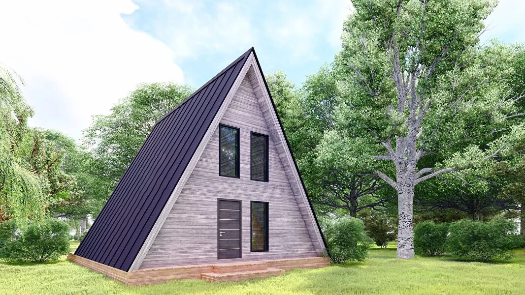
What a Colorado property review covers
The eight areas a parcel has to answer on — and who actually holds each answer — before a model is shortlisted.
See what a property review covers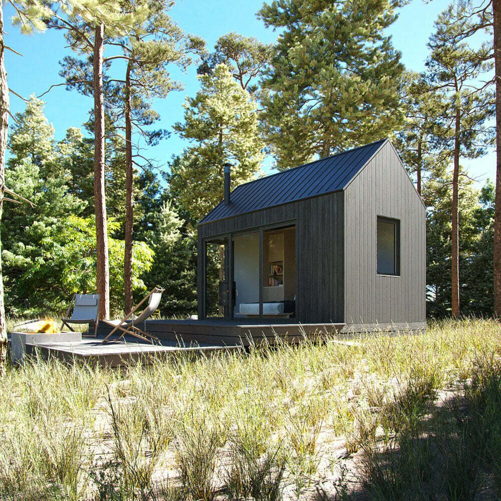
How to Prepare Your Land for a Cabin Build
Access, clearing, drainage, staging, and the utility questions that decide whether a parcel is buildable.
Read the land preparation guide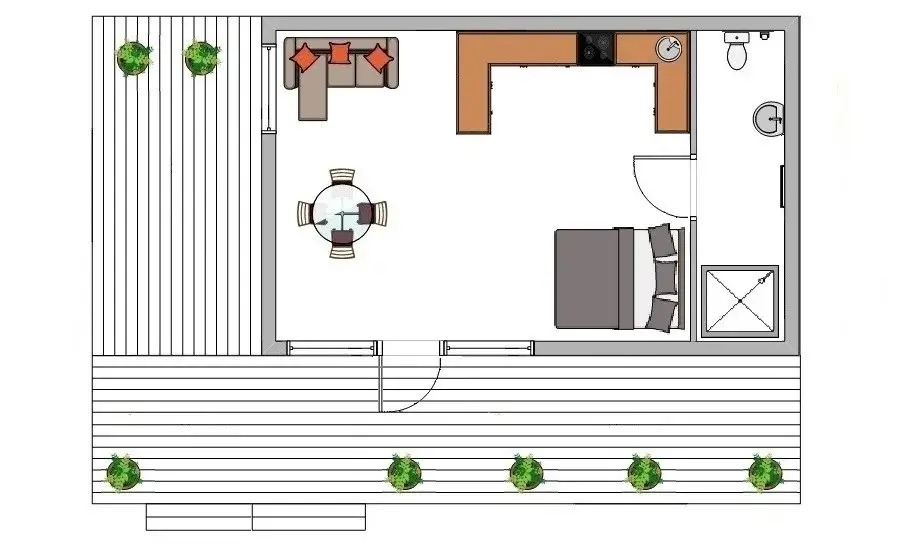
Colorado cabin permits and zoning: a planning checklist
The zoning, access, utility, and inspection questions to answer with your county before a cabin plan is worth developing.
Open the permits and zoning checklist


Have a specific parcel in mind?
Send the location, access details, and intended use and we will review feasibility before anything is committed.