
Site Planning
Colorado cabin permits and zoning: what to confirm before you design
Before you can permit a Colorado cabin, your county has to confirm the parcel's zoning allows the use you intend, and you have to resolve setbacks, access, water supply, and wastewater with that county and its public health department. This checklist sets out that sequence in the order it actually has to run — it is orientation, not legal or engineering advice, and only your county and licensed professionals can confirm what applies to your parcel.
By A-Hut · Published · Updated · 10 min read

Start with zoning and allowed use
The first question is not how large a structure you can build, it is what you are allowed to use it for. A parcel can permit a single-family dwelling, an accessory structure, an accessory dwelling unit, or none of those, and the categories carry different requirements for utilities, egress, and inspection.
Short-term rental is a separate permission from residential occupancy in most Colorado jurisdictions, and some counties cap or prohibit it outright. If rental income is part of your reasoning, confirm it in writing before anything else in this list.
Your county planning or community development department is the authority. Call them with your parcel number and ask what the zoning district allows. Nothing on this site changes their answer — see where we work for the counties we most often discuss.
- Look up the parcel number and zoning district with the county assessor.
- Confirm whether a dwelling, an accessory structure, or an ADU is permitted.
- Ask whether short-term rental is permitted and under what conditions.
- Ask whether the parcel is legally buildable at all, including any plat notes.
Setbacks, height, and lot coverage
Setbacks pull the buildable envelope in from every property line, and easements can shrink it further. On steeply sloped or irregular parcels, the remaining envelope is often much smaller than the acreage suggests, which is why footprint is the specification that eliminates models fastest.
Height limits interact directly with roof geometry. An A-Frame reaches its ridge quickly, and a tall gable that would be unremarkable in one jurisdiction can exceed the limit in another. Confirm how your jurisdiction measures height — from natural grade, finished grade, or an average — because the method changes the answer.
Lot coverage and floor area ratios cap the total built footprint including decks and accessory buildings. Decks are listed separately from interior area throughout our lineup for exactly this reason: Barn Mid-Size shows 393 sq ft of deck and porch outside its 1,660 sq ft, and that outdoor area may still count toward coverage.
- Get front, side, and rear setbacks in writing for your zoning district.
- Identify recorded easements, utility corridors, and access agreements.
- Ask how building height is measured and what the limit is.
- Confirm whether decks, porches, and overhangs count toward lot coverage.
Access, driveways, and addressing
Access governs both permitting and construction. Counties commonly require a driveway permit, a defined culvert or drainage detail at the road, and a driveway geometry that emergency apparatus can use — width, grade, turning radius, and turnaround.
Deliveries need more room than a finished driveway does. Long structures such as Barn Large need a route that a truck and equipment can physically reach, and a staging area near the building envelope. That is often the constraint that decides the model, not preference.
An assigned address is usually a prerequisite for utility applications and inspections. The practical side of access, clearing, and staging is covered in how to prepare your land for a cabin build.
Wildfire, defensible space, and overlay districts
Many Colorado parcels sit in a wildland–urban interface area with additional requirements: defensible space zones, ignition-resistant exterior materials, ember-resistant vents, and restrictions on deck construction and attachments.
Other overlays are common too — floodplain, geologic hazard, steep slope, ridgeline and view protection, and historic districts. Each can add review steps, professional reports, or design constraints that affect siting more than form.
Ask the planning department to list every overlay that touches the parcel. Finding a geologic hazard overlay after a design is underway is expensive; finding it first is a phone call.
- Ask whether the parcel is in a WUI or defensible-space regulated area.
- Ask about floodplain, geologic hazard, steep slope, and ridgeline overlays.
- Confirm exterior material and deck restrictions before finishing selections.
- Check whether a wildfire mitigation plan is required with the application.
Foundation, structure, and engineering
Building departments require structural documents stamped by a licensed engineer for the jurisdiction, using local snow load, wind speed, seismic category, and frost depth. A soils or geotechnical report is frequently required before a foundation can be designed, particularly on slopes or expansive soils.
Foundation type follows the site and the report, not the model. The same plan can sit on a slab, piers, or a full foundation depending on soils, slope, and drainage.
We describe our models as designs. Stamped engineering is produced by licensed design professionals for your specific parcel, and A-Hut can coordinate those professionals and manage the permit package and submittal on your behalf when that scope is in the written project agreement — the coordination described on the Colorado cabin builder page. The authority having jurisdiction still issues the permit, and how it works sets out where each step sits in the sequence.
Water, wastewater, and electrical service
If the parcel is not on a public water system, you are in well territory, and a well permit is a state matter with its own rules about allowed uses and yield. Existing permit records can be searched before you buy or design.
If there is no sewer main, an onsite wastewater treatment system is permitted and inspected by the county public health department, usually after a site evaluation and soil testing. System type and drainfield location can affect where the structure can sit.
Electrical service means either a utility extension with its own engineering and easement work, or a standalone system. Both paths are covered in off-grid living with A-Hut, including what each one demands of the site.
- Confirm the water source: public system, existing permitted well, or new well permit.
- Ask the county public health department what an OWTS application requires.
- Get a written estimate of the utility line extension distance and route.
- Confirm which inspections are required and at what stages.
HOA covenants and recorded restrictions
Private restrictions run alongside public ones and are often stricter. Architectural review committees can regulate roof pitch, materials, colors, window placement, outbuildings, and minimum or maximum floor area.
Covenants are recorded documents. Read them before design rather than during review, and find out whether the association's approval must precede the county's.
Where covenants restrict form, the comparison in A-Frame vs barn planning differences is a useful starting point for finding a model that fits the constraints.
Which review applies to which question
Colorado cabin projects run through several distinct reviews, and they are not interchangeable — asking a building department about zoning, or a public health department about setbacks, wastes a call and can send you home with the wrong answer. The table below is a starting map of which office to ask for which decision; your county may combine or split these differently.
Confirming this early also tells you the order to work in. Zoning and wastewater feasibility usually have to be settled before a foundation design is worth paying for, and the foundation and utility approach is what our property review process is built to sort out before you commit to a plan.
| Question | Who to ask | Why it comes first |
|---|---|---|
| Is my intended use allowed on this parcel? | County planning or community development department | Determines whether a dwelling, ADU, or accessory structure is even possible here |
| What are my setbacks, height limit, and coverage cap? | County planning department, using your zoning district | Sets the buildable envelope a model has to fit inside |
| Is my parcel in a WUI, floodplain, or other overlay? | County planning department, sometimes with a fire district referral | Overlays can require reports or materials before a design is final |
| Can I get a water supply, and is there a permitted well? | Colorado Division of Water Resources; the county for local rules | A dwelling generally needs a confirmed water source before permitting |
| Where and how can wastewater be handled? | County public health department (OWTS) | Drainfield location and soil testing can constrain where the structure sits |
| What structural loads does my engineer need to design for? | County building department, then a licensed engineer | Snow, wind, seismic, and frost data feed directly into foundation design — see [foundation options](/colorado-cabin-foundation-options) |
| Does an HOA or covenant add its own limits? | Your HOA or architectural review committee, if one exists | Private restrictions run alongside county rules and can be stricter |
How to verify this for your parcel
Nothing in this checklist substitutes for a direct answer from your parcel's own authorities. Before you pay for design work, confirm zoning, setbacks, overlays, and allowed use with your county building or planning department, and confirm the wastewater path with your county public health department — these are two different offices even when the same building houses both.
Bring your parcel number to every call. Ask each office to point you to the specific code section or map layer they used, and keep a written or emailed record of what you were told, since verbal answers can be hard to trace back later.
Once you have those answers, A-Hut can review the property against them and match a model that fits the confirmed envelope, use, and utility path — see the full process on the Colorado cabin builder page and the ten models we design from.
- Ask the county planning department to confirm the zoning district and allowed uses in writing or by email.
- Ask which office handles wastewater (usually county public health) and what an OWTS application requires.
- Ask whether your parcel appears on any overlay map — WUI, floodplain, geologic hazard, or similar.
- Ask whether covenants or an HOA architectural review process applies, and request the recorded document.
- Confirm the buildable envelope in writing (setbacks, height, coverage) before spending on design.
Assemble the document set
By the time a plan is worth developing, most owners have collected the same small set of documents. Having them ready shortens every conversation that follows, including ours.
None of this replaces professional guidance. Requirements change, jurisdictions differ, and only your county and your licensed professionals can tell you what applies to your parcel. When you have the basics, send them through our contact page and we will review feasibility with you.
- Parcel number, acreage, and a current plat or survey.
- Zoning district, allowed uses, setbacks, height limit, and coverage limits.
- List of applicable overlays and any required reports.
- Water and wastewater plan, with permit status for each.
- Access permit status and confirmed delivery route.
- HOA covenants and architectural review requirements, if any.
Official planning resources
These are state reference tools, listed for convenience. Your local jurisdiction and qualified professionals determine what your project requires. Neither agency endorses A-Hut.
- Colorado Division of Water Resources — well permit search
State tool for looking up existing well permits and permit records by location or permit number.
- Colorado Department of Public Health and Environment — OWTS information
State reference material on onsite wastewater treatment systems, which are permitted and inspected by county public health departments.
About this guide
By A-Hut · Published · Updated
A-Hut designs A-frame, barn-style, and garden-office cabin models for Colorado properties. This guide is written and maintained by A-Hut from our own model drawings and verified source data, plus publicly available state and county reference material where it is cited on the page. It is general planning guidance, not engineering, legal, or code advice: parcel-specific requirements are confirmed by your jurisdiction and licensed local professionals. If something here is out of date or inaccurate, tell us and we will correct it. How we assemble and verify model information.
Questions
Does A-Hut obtain permits for me?
How long does approval take in Colorado?
Can I put a cabin on any rural parcel?
Do I need an engineer if the model is already designed?
Does a deck need its own permit?
Which office do I call first?
Related guides
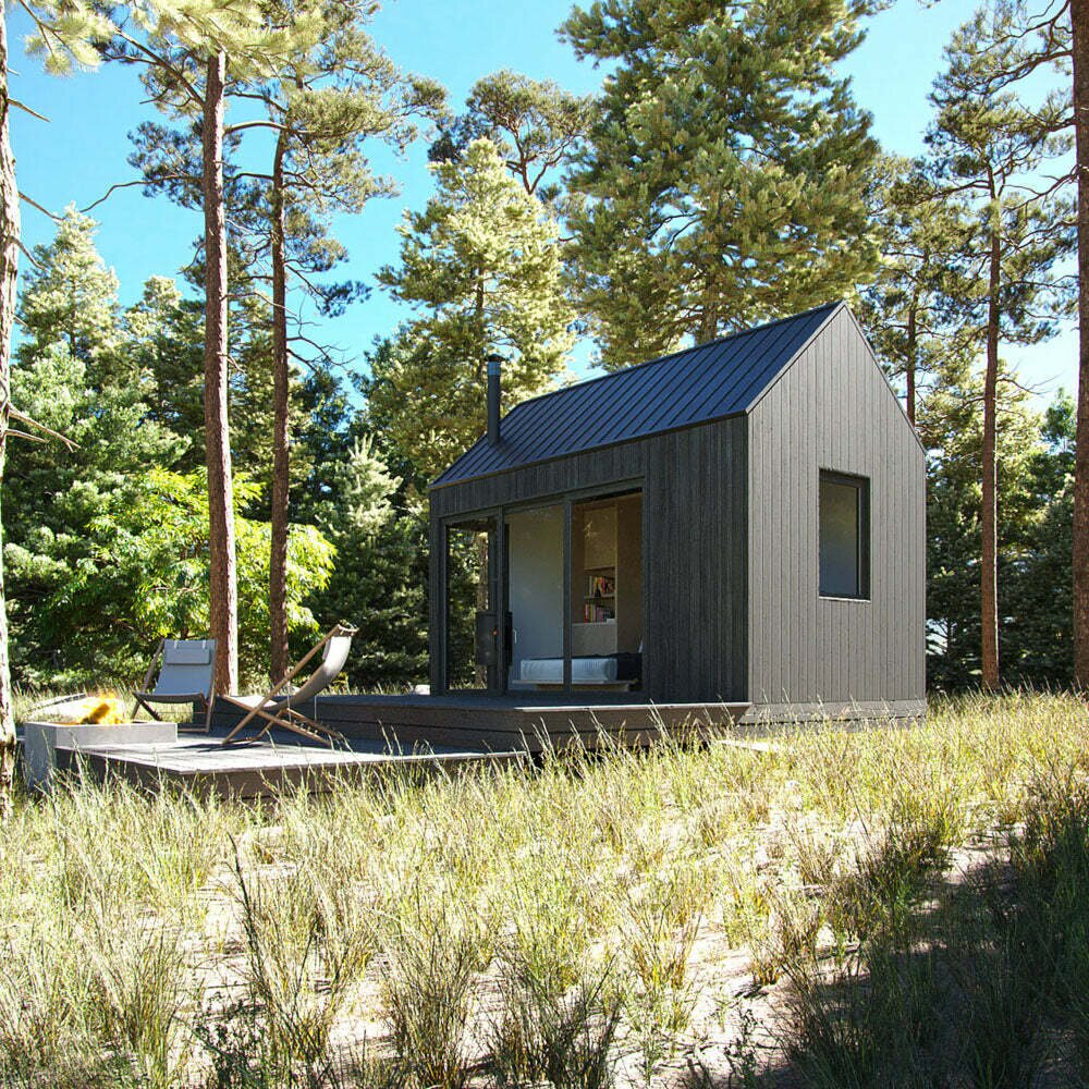
How to Prepare Your Land for a Cabin Build
Access, clearing, drainage, staging, and the utility questions that decide whether a parcel is buildable.
Read the land preparation guide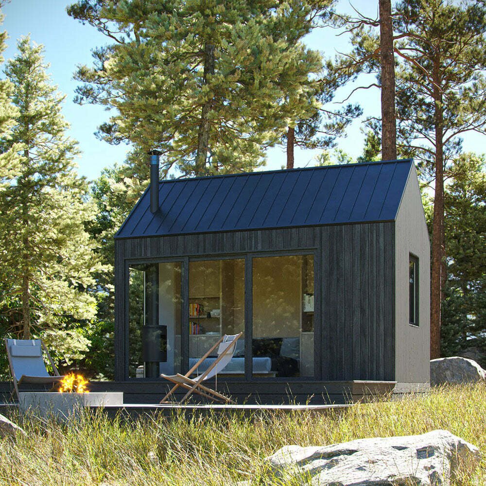
Off-Grid Living: What You Need to Know
Power, water, and wastewater planning when the utility line stops short of the building envelope.
Read the off-grid planning guide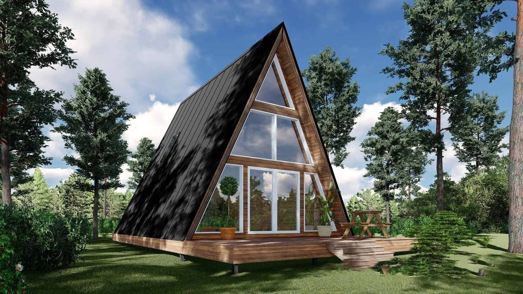
A-Frame vs Barn: planning differences that matter
Usable area, wall space, loft volume, and footprint differences between the two structural forms, and which models suit each.
Compare A-Frame and barn planning


Have a specific parcel in mind?
Send the location, access details, and intended use and we will review feasibility before anything is committed.