
Climate & Resilience
Building a Cabin in Colorado Wildfire Country: A Site-Planning Checklist
Wildfire planning is most effective at the moment you are still choosing where the structure sits, because siting, access, and materials are all still open. This checklist applies Colorado State Forest Service guidance to a new build. Mitigation improves preparedness; it never assures that a structure survives a wildfire, and nothing on this page is a code, insurance, or fire-behavior determination.
By A-Hut · Published · Updated · 9 min read

The short answer
The Colorado State Forest Service frames home wildfire preparedness around the home ignition zone: the structure itself plus the area around it. CSFS describes the two primary determinants of a home's ability to survive a wildfire as the structure's ignitability and the quality of the surrounding defensible space, and advises starting at the structure and working outward.
For a new build, that ordering is an opportunity. Placement, access, materials, and vegetation are all still decisions rather than retrofits. The work is also never finished: CSFS is explicit that the home ignition zone requires regular, ongoing maintenance to be effective, because vegetation keeps growing and debris keeps accumulating.
Read this alongside the broader snow, wind, and wildfire planning guide, which covers the climate loads a Colorado structure is designed against.
The three defensible space zones
CSFS describes defensible space as a series of management zones developed around each building on a property — including detached garages, storage buildings, barns, and other structures, not only the residence. The distances below are the CSFS zone definitions, quoted so you can apply them to a site plan rather than approximating them.
Zone 1 covers 0–5 feet from the home and is the area nearest the structure; CSFS describes it as requiring the most vigilant work to reduce wildfire hazards. Zone 2 covers 5–30 feet from the home and is the transitional area where fuels should be reduced. Zone 3 covers 30–100 feet from the home, extending 100 feet on relatively flat ground.
Sketching those three rings onto your site plan early tends to change the conversation about placement, driveway geometry, propane and firewood storage, and which trees you were planning to keep close to the structure.
- Draw the three zones around every planned structure on the parcel, not only the cabin.
- Check whether the zones extend past your property line, and note who controls that land.
- Note where the zones intersect steep slopes, since CSFS describes the 100-foot figure in relation to relatively flat ground.
- Identify what is already inside Zone 1 today: vegetation, slash piles, fencing, decks, and storage.
- Confirm the zones against your county or fire district's own requirements, which may be more specific.
What mitigation can and cannot change
It is worth being precise about what this work does, because the language around wildfire is often loose. Mitigation changes the conditions a structure meets: how much fuel sits next to it, how many places an ember can lodge, and how much room responders have to work if they choose to defend it. Those are meaningful changes, and they are the changes a property owner can actually control.
What mitigation does not do is determine the outcome. Fire behavior on any given day depends on weather, fuel moisture, topography, ignition location, and what happens elsewhere in the landscape — none of which is a property-level decision. CSFS presents defensible space and structural ignitability as the two factors that most influence whether a home survives, not as a guarantee that it will. No amount of clearing or material selection makes a building fireproof, and A-Hut does not represent otherwise.
That distinction matters practically, not just legally. It is the reason mitigation is judged as ongoing maintenance rather than a completed line item, the reason evacuation planning belongs alongside site planning rather than after it, and the reason it is worth asking your insurer and fire district what they look for rather than assuming a finished project settles the question.
It is also the reason to treat anyone who promises a fire-safe outcome with suspicion, whether they are selling materials, clearing services, or a building design.
Placement and site layout
Where a structure sits changes its exposure before a single material is selected. Slope, aspect, drainage, and the surrounding fuel type all matter, and each of them also affects foundation, access, and utilities — so this is a decision to make with the whole site in view rather than in isolation.
Terrain and vegetation questions here belong in the same conversation as the ones in what a Colorado property review covers and the land preparation guide. The same slope and drainage evidence also drives the foundation options discussion, so it is worth gathering once and using for both.
- Map slope and aspect around each candidate building area, and note what sits uphill of it.
- Identify the dominant vegetation types adjacent to the site and how continuous they are.
- Consider the separation between the structure and any dense stand you intend to retain.
- Locate propane tanks, firewood, and outbuildings deliberately with respect to the zones rather than by convenience.
- Plan where slash and cleared material go; CSFS advises isolating chipped or piled slash 30 feet or more from the home.
- Check whether a candidate location makes the required defensible space work realistic to maintain year after year.
Access for emergency response and for construction
Access serves two audiences with overlapping requirements: the equipment that builds the structure and the apparatus that may one day respond to it. Both need width, grade, turning radius, surface, and overhead clearance along the entire route, not just at the site.
Requirements are set by your local fire district and jurisdiction, and they differ across Colorado. Ask them directly and in writing rather than assuming a standard.
- Ask the local fire district what access, turnaround, and address-marking they require for a new structure.
- Measure the narrowest point, sharpest turn, and steepest grade on the full approach.
- Note overhead clearance where trees or utility lines cross the route.
- Confirm surface and drainage: can the route be used in spring mud and after snow?
- Identify who owns and maintains each segment, including any easement across another owner's land.
- Ask whether a second means of egress from the property exists or is expected.
- Confirm the address will be visible and legible from the road.
Vegetation and maintenance in the zones
The CSFS home ignition zone checklists list defensible space priorities that translate directly into site work. Several of them are marked as needing attention more than once a year — a maintenance schedule, not a one-time project.
The items below paraphrase CSFS priorities. Use their checklists as the authoritative version, and consult your local CSFS field office, fire department, or a trained natural resource professional for property-specific guidance.
- Mow grass and weeds to a height of four inches or less, addressed as needed through the season.
- Rake and remove pine needles and other flammable debris from a 5-foot radius around the foundation and deck.
- Treat or mow aggressively re-sprouting shrubs such as Gambel oak on a recurring cycle.
- Remove branches that overhang the roof and chimney.
- Dispose of thinning slash by chipping, hauling, or piling in open areas well away from the structure.
- Avoid continuous ground layers of wood chips; break them up with nonflammable material or wide gaps.
- Keep firewood stacked away from the structure, following CSFS placement guidance.
- Clear leaves, needles, and debris from decks, roofs, and gutters as part of routine maintenance.
Structure questions for your design team
The CSFS structural ignitability priorities are questions to raise with the designer, engineer, and builder — and with your jurisdiction, which may adopt requirements of its own for wildfire-prone areas. A-Hut does not certify fire performance, and no material selection makes a structure fireproof.
Raise each of these before drawings are finalized, because most are far harder to change afterward.
- Roof: what fire rating applies, and what does the jurisdiction require here?
- Vents: how are attic, roof, eave, and foundation vents screened, and with what mesh?
- Decks and stilt foundations: how are the undersides screened or enclosed?
- Glazing: what glass assembly is specified, and why?
- Siding and grade clearance: how much vertical clearance is provided between the ground and the siding?
- Fencing and gates attaching to the structure: what are they made of within the first few feet?
- Gutters and roof debris: what maintenance does the detailing assume?
- Which of these are jurisdictional requirements and which are optional design choices on this parcel?
Water, fire district, and jurisdiction coordination
Wildfire planning intersects with several agencies at once, and each has its own answer. Getting those answers in writing early keeps them from surfacing as conditions on a permit later.
Water supply questions also connect to the rest of your utility planning — see the private well planning guide and the water, septic, and power overview.
- Contact the fire district that serves the parcel and ask what they require and recommend for a new structure.
- Ask the building department which wildfire-related provisions the jurisdiction has adopted.
- Ask whether any water supply provisions apply for structures in this area.
- Ask your insurer what documentation of mitigation work they want, and keep records of what you do.
- Ask your local CSFS field office about property-specific vegetation guidance.
- Record every answer with a date and the name of the person you spoke to.
A pre-design checklist to complete first
Complete as much of this as you can before design work begins. Each answer either constrains the design or frees it, and both are useful.
- Zones 1, 2, and 3 drawn around every planned structure on a site plan.
- Slope, aspect, and adjacent fuel types documented for each candidate building area.
- Fire district access requirements obtained in writing.
- Full approach route measured and photographed.
- Structure questions above prepared for the design team.
- Water supply and wastewater plans identified, at least in outline.
- A maintenance plan you can realistically sustain, including who does the work when you are not on site.
- Written notes from the fire district, building department, CSFS field office, and insurer.
How A-Hut works with this
A-Hut plans model designs for specific Colorado properties. We can incorporate the outcome of your wildfire site planning into siting, layout, and the scope we coordinate with engineers and the jurisdiction, and we can manage the permit package when that is written into the agreement — the scope described on the Colorado cabin builder page. We do not make fire-performance claims, and no one can promise the result of a wildfire event or a permit review. How it works sets out where in that sequence siting decisions are made, and service areas lists the Colorado counties we plan for.
If you are choosing between designs, the models overview and the A-Frame and barn family pages show footprints and roof forms that are worth having in front of you during a siting conversation.
To discuss a specific parcel, use the contact form, call (720) 722-1707, or email info@a-hut.com.
Official planning resources
These are state reference tools, listed for convenience. Your local jurisdiction and qualified professionals determine what your project requires. Neither agency endorses A-Hut.
- Colorado State Forest Service — protect your home and property from wildfire
State forestry guidance defining the home ignition zone, structural ignitability, and the three defensible space zones.
- Colorado State Forest Service — home ignition zone checklists
Printable checklists covering roof, vents, decks, glazing, siding clearance, and the vegetation work around a structure.
About this guide
By A-Hut · Published · Updated
A-Hut designs A-frame, barn-style, and garden-office cabin models for Colorado properties. This guide is written and maintained by A-Hut from our own model drawings and verified source data, plus publicly available state and county reference material where it is cited on the page. It is general planning guidance, not engineering, legal, or code advice: parcel-specific requirements are confirmed by your jurisdiction and licensed local professionals. If something here is out of date or inaccurate, tell us and we will correct it. How we assemble and verify model information.
Related guides
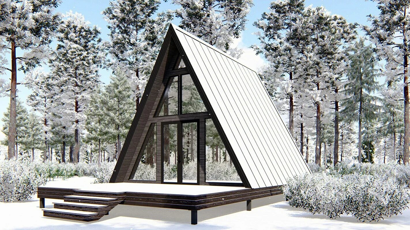
Building a Cabin in Colorado: Snow, Wind, and Wildfire Planning
Roof geometry and drifting, wind exposure and elevation, glazing and connections, defensible space, and the maintenance these conditions require.
Read the snow, wind, and wildfire guide
How to Prepare Your Land for a Cabin Build
Access, clearing, drainage, staging, and the utility questions that decide whether a parcel is buildable.
Read the land preparation guide
What a Colorado property review covers
The eight areas a parcel has to answer on — and who actually holds each answer — before a model is shortlisted.
See what a property review covers


Have a specific parcel in mind?
Send the location, access details, and intended use and we will review feasibility before anything is committed.