
Site Planning
Cabin site access and delivery planning in Colorado
A parcel can be beautiful, zoned correctly and still be impractical to build on if a loaded truck cannot reach it. This guide covers the access questions to answer before design is finalised: road and driveway geometry, seasonal conditions, crossings, staging space, lifting access and emergency-apparatus requirements.
By A-Hut · Published · Updated · 7 min read

The short answer: measure the route, not just the parcel
Access is assessed as a continuous route from the nearest maintained public road to the exact point where the building will stand, and then to where material and equipment can sit while work happens. A single pinch point anywhere along that route governs the whole project.
The four things that most often stop a delivery are grade, width at a turn, overhead clearance and the load capacity of a bridge or culvert. None of them are visible on a listing photograph, and only the first is obvious on a map.
This is a planning guide, not an engineering determination. Weight limits, bridge capacity, cut-slope stability and driveway design for emergency apparatus are decided by the responsible engineer, the county and the fire district for your specific parcel.
| Factor | What it decides | Who to ask |
|---|---|---|
| Sustained grade | Whether a loaded truck can climb and, more importantly, descend safely in poor conditions | County road/access permitting and the fire district |
| Width and turning radius | Whether long vehicles can make the turns at all; the tightest turn governs | Your delivery provider, with dimensions measured on site |
| Overhead clearance | Tree canopy, utility lines and rock overhangs that stop a tall load | The utility owner for line clearance |
| Crossings | Whether a bridge, culvert or cattle guard can carry a loaded vehicle | The structure's owner, plus an engineer if capacity is unknown |
| Surface and season | Which months the route is usable, and whether it needs improvement first | Neighbours, the road association and the county |
| Staging and lifting area | Where material sits and whether equipment can be positioned to lift | Your builder, once the pad location is set |
Emergency apparatus access is a permitting matter, not a preference
Fire districts and counties commonly set requirements for driveway width, sustained grade, surface, turnarounds and address signage so that emergency apparatus can reach a structure. These requirements can be a condition of the building permit and can shape the driveway alignment, which in turn can shape where the building sits.
Ask the fire district that serves the parcel what applies before design is finalised, and treat their answer as a design input rather than a late compliance item. State wildfire guidance also discusses access and turnaround provision alongside defensible space; the site-planning consequences are covered in the wildfire site planning checklist.
Measuring your route: a walk-through you can do yourself
Before anyone quotes site work, walk the route with a tape, a phone and a notebook. The measurements below are what a delivery planner will ask for, and having them ready changes the quality of every conversation that follows.
- Total distance from the maintained public road to the building location
- Narrowest point of the travelled way, measured between fixed obstructions
- The tightest turn: inside radius and what stops a vehicle from swinging wider
- Steepest sustained section, and whether it is on the climb or the descent
- Lowest overhead obstruction, including branches that a tall load will hit
- Every crossing: bridge, culvert or cattle guard, with any posted limit photographed
- Surface type, drainage crossings and any section that softens when wet
- A candidate staging area, its dimensions, and its distance to the building pad
- Where a lifting machine could stand relative to the pad, on stable ground
- Whether utility poles, guy wires or meter locations constrain any of the above
Staging, lifting and the space a build actually needs
The building footprint is the smallest area a project uses. Around it you need somewhere to place material out of the mud, room for equipment to work, space for spoil from excavation, and a path for vehicles to turn without reversing the whole route.
On tight or steeply sloping parcels this is often the decisive constraint. It can favour a smaller model, a different building position, or a foundation approach that reduces excavation and spoil — which is where access planning and foundation choice meet.
Plan for reinstatement too: the area used for staging is usually the area that needs the most repair, seeding and drainage attention at the end of the project.
Remote and southwest Colorado parcels
Parcels in the southwest of the state and in similarly remote areas add distance, seasonal road conditions and a thinner local supplier base to every one of the questions above. The practical effect is that trips cost more and mistakes are harder to correct, so the access survey is worth doing earlier and more thoroughly than on a Front Range foothills parcel.
A-Hut publishes the areas it serves on the service areas page. We do not claim coverage of areas that are not listed there; if your parcel is outside them, this guide is still the right checklist to hand to whoever does build for you.
What to do with the answers
If the route works, record the measurements and photographs with the parcel documents so every provider works from the same facts. If the route does not work, you have three levers: improve the route, change where the building sits, or change the model. All three are cheaper to use now than after engineering.
Access is one of the first items in the property review that opens every A-Hut project; how that review leads into engineering, permit management and site work is described on the Colorado cabin builder page.
Send the measurements with your enquiry through the contact form and the property review can start from real dimensions instead of assumptions.
Official planning resources
These are state reference tools, listed for convenience. Your local jurisdiction and qualified professionals determine what your project requires. Neither agency endorses A-Hut.
- Colorado State Forest Service — protect your home and property from wildfire
State forestry guidance that also covers driveway width, grade and turnaround expectations for emergency apparatus access.
- Colorado Geological Survey
Hazard and soils mapping useful when evaluating a driveway alignment, cut slopes and drainage crossings.
About this guide
By A-Hut · Published · Updated
A-Hut designs A-frame, barn-style, and garden-office cabin models for Colorado properties. This guide is written and maintained by A-Hut from our own model drawings and verified source data, plus publicly available state and county reference material where it is cited on the page. It is general planning guidance, not engineering, legal, or code advice: parcel-specific requirements are confirmed by your jurisdiction and licensed local professionals. If something here is out of date or inaccurate, tell us and we will correct it. How we assemble and verify model information.
Questions
What driveway grade and width are required in Colorado?
Can a cabin be delivered to a parcel with no road?
Does an easement for access always allow construction traffic?
How much space is needed around the building?
Does A-Hut assess access?
Related guides
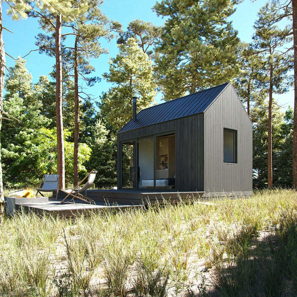
How to Prepare Your Land for a Cabin Build
Access, clearing, drainage, staging, and the utility questions that decide whether a parcel is buildable.
Read the land preparation guide
Colorado cabin build sequence and preconstruction checklist
The dependency order of a Colorado cabin project, stage by stage, and the preconstruction items to resolve before they hold up the next step.
Read the build sequence and preconstruction checklist
Colorado cabin foundation options: slabs, piers, crawl spaces, and site constraints
Slab, pier, and crawl space compared against the Colorado site conditions — slope, soils, frost, drainage, access — that decide which is workable.
Read the foundation options guide


Have a specific parcel in mind?
Send the location, access details, and intended use and we will review feasibility before anything is committed.